![]()
Northwest Nebraska experienced a couple of weather anomalies on Sunday as severe weather moved through the area.
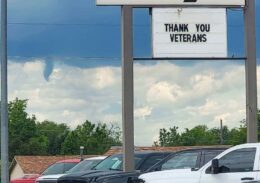
Just before noon the city of Chadron sirens sounded for a funnel that was produced by a storm system just to the west of town. After discussions with the National Weather Service in Cheyenne, it was determined to be a cold air funnel.
The weather service never issued a warning for the system, but did place a special weather statement for possible 30mph winds and penny sized hail. The emergency alert systems is not typically used for instances such as a cold air funnel. Downtown Chadron only experienced brief heavy rains.
The definition of a cold air funnel from the weather service states that cold air funnels form beneath showers or weak thunderstorms when the air aloft is especially cold. The funnels are most common in the fall and spring when the sun is able to heat up the lower levels of the atmosphere, causing convection to bubble up and form showers, but temperatures around 15,000 to 20,000 feet above the ground are quite cold.
Cold air funnels are usually harmless, but on rare occasions they can touch down and cause EF-0 level tornado damage.
By Sunday afternoon witnesses reported seeing a landspout in rural Sheridan County near Hay Springs as well as quarter sized hail. A landspout is a weak tornado that develops in the early stages of a thunderstorm but is not associated with a mesoscale or major strom development.
No damage has been reported at this time.
More severe weather is in the forecast for the region this afternoon which may include high winds, hail, and a low probability of a tornado.