![]()
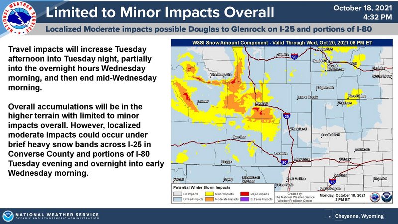
The weather Impact Level for Tuesday afternoon through early Wednesday is Low overall with localized and brief Moderate impacts possible from snowfall and mixed precipitation. Here are the current weather event impact highlights:
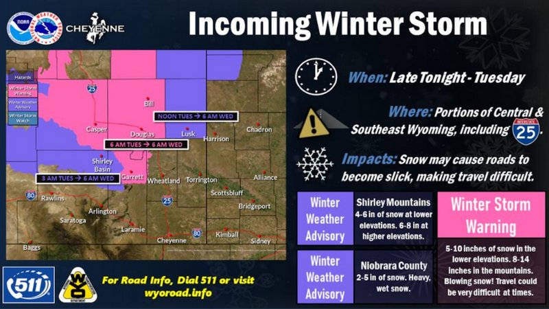
- High Elevation snow will start overnight tonight into Tuesday morning. Snow levels will lower Tuesday along and west of I-25 and in portions of the WY High Plains.
- Snow will overspread mountain valleys and into the portions of the WY High Plains Tuesday afternoon into early Wednesday morning.
- NE Panhandle will start as cold rain with brief change over to snow Tuesday night with minimal accumulations. Slick conditions could be possible.
- Snow will decrease Wednesday morning as the system exits east.